Home Logiroad Center City Road markings
Road markings
Logiroad Center
Enhance your road diagnostics with an
inventory of the position and condition
of your road markings.
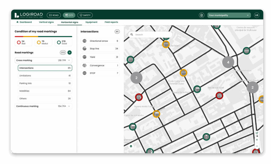
When we diagnose your pavement for you, we can feed your road markings into the Logiroad Center platform.
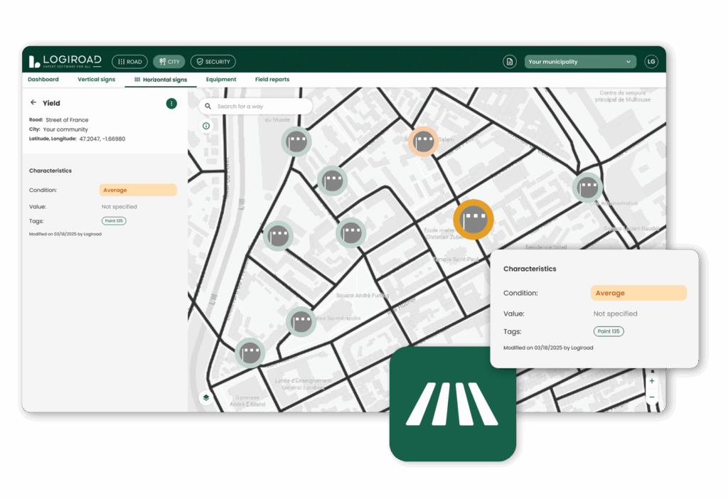
This gives you a map view of the location, inventory and status of spot markings on your roads:
• Stop line
• Yield
• Pedestrian crossings and traffic direction pointers
• Symbols and arrows on the ground (30 zone, cycle lane, pedestrian, etc.)
The road markings are graded on 3 levels: good, average, poor, depending on its legibility.
Do you have planned roadworks? Highway reorganisation?
Simply display the inventory by street or combine filters from the platform by infrastructure type or condition. You’ll instantly get a full list of the items present and their precise location.
You can also use the immersive 360° view to see them for yourself, from your desk.

Prioritise your maintenance with an up-to-date inventory
Opt for a signage inventory that is updated daily to better manage your stocks and easily identify priorities.
The City module lets you know at any time what road markings you have under management, including its condition and exact location. Attached to the field reports module, it enables you to take rapid action on your assets.
- Changes in the condition of your road markings
- Reporting alerts

Update your road sign inventory yourself
Easily and quickly edit your signage assets:
- Modify the geolocation and characteristics of your signs
- Add or remove a road sign
- Add tags and filter based on assigned criteria

